Journals
-
Anagramas Rumbos y Sentidos de la Comunicación
DOI: 10.22395/angr
Electronic ISSN: 2248-4086
Print ISSN: 1692-2522
Anagramas Rumbos y Sentidos de la Comunicación (Anagrams: Directions and Meanings of Communication) an international peer-reviewed journal using the double-blind method, is a scientific venture that seeks to publish and disseminate new knowledge in the field of communication, highlighting research in the field from various perspectives, both theoretical and empirical or applied, on current topics related to: cultural studies, entertainment, public communication, advertising, public relations, journalism, political communication, memory, and cultural industries.
The journal publishes research and review articles. It is an open access journal since 2015 and it is addressed to professors, researchers, students, and professionals in the field of communication and other related fields. Anagramas Rumbos y Sentidos de la Comunicación follows ethical principles aligned with COPE’s Ethical Guidelines for Peer Reviewers, is highly visible in several databases, and includes standardized ORCIDs and DOIs for search engines.
The journal includes the following sections:
Editorial or dossier presentation: describes the issue’s content and the relevance of the topics addressed.
Free topic: includes articles about various research interests, emphasizing cultural studies, public communication, advertising, public relations, journalism, political communication, memory, and cultural industries
Dossier: gathers articles about a specific topic, which were submitted in response to a call for papers created by the Editorial Team.
The journal has a different section structure in issues that include exclusively free topic articles, as the Dossier section does not appear.
The journal declares that all articles received are uploaded to the Turnitin tool, which focuses on detecting plagiarism text matches; that the content published in the journal’s digital version is open access and can be downloaded as PDF files; that authors must declare that the manuscript was written by them, that it has not been published before, and that they respect the intellectual property rights of third parties. As for peer reviewers, they must declare in the review form that they do not have conflicts of interest regarding the authors and topics they will review.
Financing model
Anagramas Rumbos y Sentidos de la Comunicación is an open access journal. It is financed and edited by Universidad de Medellín as a non-profit.
Peer review duration
The average evaluation time of manuscripts by peer reviewers is two (2) months from the receipt of the manuscript.
The estimated time for the publication process of an article is four (4) months from the acceptance of the manuscript by the peer reviewers and the verification of the Editorial Team of the journal.
Total average time from receipt of manuscript to publication: six (6) months
-
Ciencias Sociales y Educación
DOI: 10.22395/csye
ISSN 2256-5000 | eISSN 2590-7344
An open-access academic and scientific journal that operates under a continuous publication model. Its aim is to provide a platform for the dissemination, appropriation, and circulation of knowledge in the fields of Social Sciences and Humanities, fostering academic dialogue at the local, national, and international levels. The journal publishes scientific and technological research articles as well as review articles intended for the academic and scientific community. -
Opinión Jurídica
DOI: 10.22395/ojum
eISSN 2248-4078
Opinión Jurídica is an internationally-reaching publication sponsored by the University of Medellin (Colombia). It publishes original articles that address relevant and current issues in the field of law and related sciences and has undergone a rigorous peer review process to ensure their quality and scientific rigor. It also seeks to facilitate communication among legal scholars, professionals, and students and to promote the internationalization of legal knowledge by promoting the publication of works by authors from different countries, especially Latin America. Submissions in Spanish, English, and Portuguese were also accepted. Since 2020, the journal has been continuously published, and at the end of each semester in June and December, the editorial group prepares the respective number. -
Revista Ingenierías Universidad de Medellín
DOI: 10.22395/rium
Approach and Scope
Revista Ingenierías Universidad de Medellín is a multidisciplinary publication in the field of engineering. The journal disseminates research results that contribute to regional and global development from an engineering perspective. The journal prioritizes the reception of products derived from research projects for their elaboration and adequate dissemination among academics, students, and other interested groups in society.
At Revista Ingenierías Universidad de Medellín, we are aware of the need for adequate circulation of scientific knowledge in our region and the need to provide elements for the analysis and solution of specific problems.
However, we recognize the need for the widest possible circulation within academic communities. Therefore, starting in 2021, we strongly encourage authors to submit the final approved version of their articles in English for publication. Additionally, our journal maintains its tradition of open access circulation, without any charges for submission or publication.
The journal guarantees the ethical treatment of contents and ensures that all procedures involving authors, referees, and editors comply with the COPE standards.
-
Semestre Económico
DOI: 10.22395/seec
Semestre Económico is a publication of the Administrative and Economic Sciences Faculty at the University of Medellin. It was founded in 1983 and has been edited continuously since 1997.
It is an open-access scientific journal. It is a specialized journal in economic topics. It has the purpose of broadcasting research results, which must become an invitation for reflection, debate, and the pursuit of innovative solutions for the problems related to the study of the economic sciences.
The journal accepts research, review, and reflection articles in Spanish, English, or Portuguese that had not been published in other journals or any other broadcasting medium. The articles are subjected to an external assessment process and a double-blind peer review for determining their publication possibility.
The journal has a biannual periodicity, which consists of one volume and two issues per year, every issue having 10 articles, for a total of 20 articles every year. Since the 56th issue of 2021, the journal started a continuous publication strategy, which shortens publication times and allows the journal to publish them immediately after being accepted, without having to wait for the rest of the articles to be accepted for publishing the issue. -
AMBIENS. Revista Iberoamericana Universitaria en Ambiente, Sociedad y Sustentabilidad. (Revista coeditada)
La Revista Ambiens es un espacio editorial interdisciplinario en el que se publican los resultados del trabajo que realiza la comunidad científica y académica en los diferentes temas de interés de las ciencias ambientales.
-
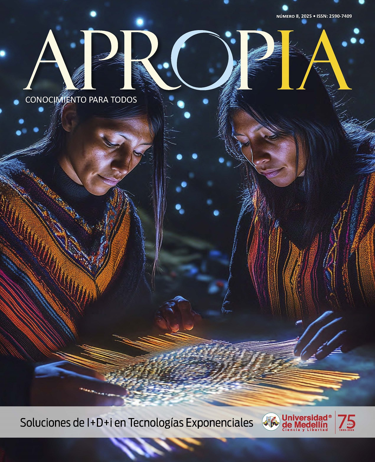
Apropia
Revista de divulgación a través de la cual compartimos los logros alcanzados por los investigadores de la Universidad de Medellín.
-
Fragua
Fragua es una revista de divulgación de acceso abierto para estudiantes de pregrado y posgrado de la Universidad de Medellín. La temática de las publicaciones se enmarca en las diferentes áreas del conocimiento alrededor de los programas académicos y semilleros de investigación de la institución, siendo su objetivo principal la difusión de nuevo conocimiento producto de las experiencias investigativas de los estudiantes en el marco de sus actividades académicas.
La revista acepta artículos originales, resultados de investigación, artículos de revisión y reflexión, los cuales no hayan sido publicados en otras revistas o cualquier otro medio y que cuenten con criterios de calidad establecidos. Todos los artículos son sometidos a un proceso de evaluación a través de un Evaluación un grupo de expertos, que deciden si rechazan o aceptan la publicación.
La revista tiene una periodicidad semestral, constituida por un volumen y dos números por año, con 7 artículos por numero en promedio.
-